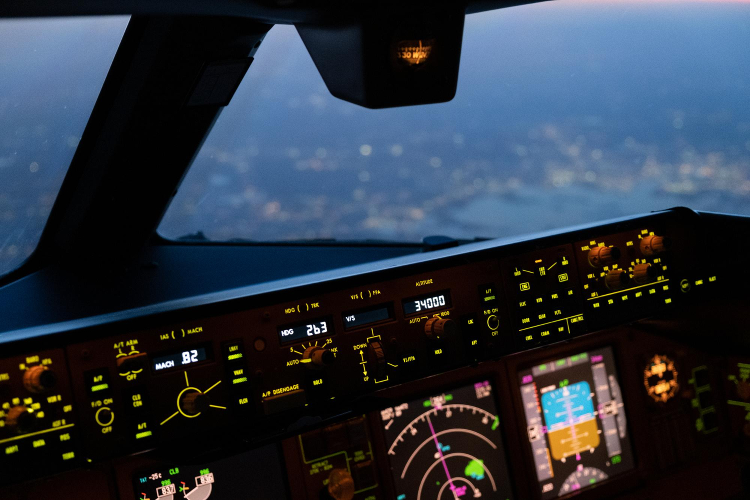
The aerospace sector is undergoing significant change as space technologies blend with aviation. Satellite data now guides how aircraft are operated and maintained, enhancing both navigation and communication. Today, up-to-date satellite imagery enables near-real-time decision-making that was once unthinkable. Stakeholders in the aviation field have come to recognize that these capabilities are not just supplementary but integral. Having the most up-to-date satellite images now means progress in air traffic control and weather forecasting.
Evolution Of Aerospace And Satellite Technologies
The link between aerospace and satellites began with revolutionary tools like GPS navigation and early weather forecasting. These early technologies were novel compared to terrestrial systems, but they played only a supplementary role in aviation. Though as satellites advanced, the quantity and quality of data they could deliver grew exponentially.
High-resolution sensors and multispectral imaging of up-to-date satellite images changed Earth observation forever. Airlines and regulators suddenly had access to vast datasets, enabling them to make informed decisions. The transition from satellites as external support systems to fully integrated components of aerospace represents a turning point. Today, aircraft increasingly connect directly with satellite feeds, enabling dynamic adjustments during flight operations. This highlights the emergence of an aerospace ecosystem in which data is the driving force.
Critical Applications Of Satellite Analytics In Aviation
Satellites have proved indispensable in air traffic monitoring. Traditional radar coverage is very limited, especially across oceans and remote places. Satellite data provides spectral visibility that helps both airlines and regulators. Using up-to-date satellite maps, flights can run more efficiently and with fewer delays.
Weather Forecasting And Hazard Detection
When it comes to forecasting, monitoring systems provide near real-time updates on everything from turbulence to jet streams. With this information at hand, pilots can adjust their routes to avoid trouble, keeping all passengers safe during the journey. Airlines also use the most up-to-date satellite imagery to anticipate large-scale disruptions caused by hurricanes or volcanic eruptions.
Environmental Monitoring
The airlines are under pressure to reduce their carbon footprint. Satellites can accurately monitor greenhouse gas emissions and contrail formation. These insights enable the development of greener technologies and help regulators establish real-time sustainability policies.
Safety And Disaster Response
Satellites are absolutely indispensable during crises, e.g., wildfires. They ensure aviation stays resilient. Satellite situational awareness also improves humanitarian air missions, where timely action can save lives.
Together, these applications transform aviation from reactive to proactive. Instead of responding to problems after the fact, operators can predict risks in order to mitigate the aftermath. Long-term sustainability goals can now be realized as well.
Combined Impact
It can be seen that aviation is no longer a reactive industry, thanks to satellite integration. With up-to-date satellite imagery, risks can be predicted and mitigated, operational performance optimized, and sustainability goals advanced. The combination of aerospace and satellite data is setting new standards for global aviation.

Benefits For The Aerospace Industry
The integration of satellite analytics provides numerous benefits across the aviation sector:
- Better Safety: Real-time monitoring of weather and aircraft positioning reduces risks and disasters.
- Efficiency: Dynamic route optimization reduces delays as well as fuel costs.
- Savings: Reducing inefficiencies leads to lower costs.
- Sustainability: By tracking aircraft emissions and contrail formation, airlines gain insights that help them reduce their environmental footprint. These measurements help realize greener flights and support international climate agreements.
This means the aviation industry can handle rising air traffic more effectively while still honoring global climate commitments.
Challenges
Despite the benefits, integration also comes with challenges:
Data Compatibility: Older aviation systems were never designed to handle real-time satellite streams. Modernizing them to match new technology is both expensive and complex.
Reliability: Satellites cover the globe, but issues like latency and stable data delivery are still a concern.
Implementation Costs: Rolling out these solutions at scale demands major spending on technology and workforce training.
Overcoming these limitations requires coordinated efforts between regulators, airlines, and technology providers worldwide.
The Outlook
Emerging technologies point to a promising future for aerospace and aviation in general. AI promises to extract deeper insights from giant satellite datasets. In the future, aircraft equipped with IoT technology will be able to communicate directly with satellites. Private companies such as Starlink are steadily expanding satellite constellations, making global data transmission faster and more reliable. Together, these innovations pave the way for safer flights and a more efficient aviation industry.
In the coming decades, aerospace will rely primarily on the most up-to-date satellite maps to make decisions in real time. In this vision, aircraft, satellites, and land systems work together constantly as an integrated ecosystem, all of which is the next frontier in aviation.
Why Gogo is Refusing to Join the 'Starlink Speed Race' — And Why It's Winning Anyway » Student Education as a Pathway to an Aviation Career » SAS Hosts Air-to-Ground CS:GO Match at 30,000 Feet via Starlink »
Comments (0)
Add Your Comment
TAGS
INFORMATIONAL Satellites Analytics Aerospace Technology TechRECENTLY PUBLISHED
 Why Gogo is Refusing to Join the 'Starlink Speed Race' — And Why It's Winning Anyway
In a recent interview with AeroXplorer, Gogo's SVP Dave Falberg made it clear: Gogo isn't competing in a speed race against Starlink. Rather, it is competing in a race of reliability and integration.
NEWS
READ MORE »
 SAS Hosts Air-to-Ground CS:GO Match at 30,000 Feet via Starlink
On January 14, to prove the low-latency capabilities of the SpaceX-powered system, the airline hosted a live multiplayer Counter-Strike video game tournament at 30,000 feet.
NEWS
READ MORE »
 Student Education as a Pathway to an Aviation Career
Explore how to become a pilot through aviation degree programs and flight school. Learn about requirements, costs, and career options.
INFORMATIONAL
READ MORE »
More than just headlines.
Get unlimited ad-free access to in-depth aviation news, premium stories, and exclusive insights other sites don't cover.
- Ad-free browsing on AeroXplorer
- Unlimited access to premium and exclusive articles
- Higher photo upload limits & commissions on sales
- Free access to Jetstream Magazine on higher tiers
- Ad-free browsing
- Sell aviation photos with 60% commission
- First week free!
- Everything in Basic+
- Unlimited premium articles
- Sell aviation photos with 70% commission
- Free Digital subscription to Jetstream Magazine
- First week free!
- Everything in Basic+ and Pro
- Sell aviaiton photos with 80% commission
- Early access to exclusive stories
- Free Digital+Print subscription to Jetstream Magazine


